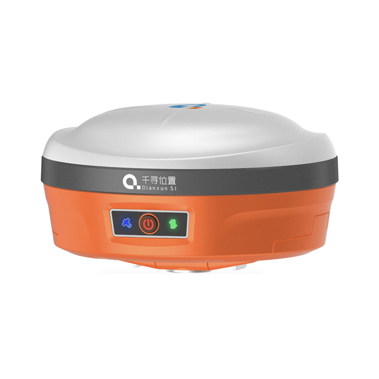
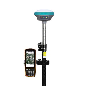
QIANXUN SR6 Gps Tracking System Surveying Instruments Gnss Rtk Survey Equipment GPS BEIDOU RTK


| Static Accuracy | |||||
| Horizon: | 2.5mm+1ppmRMS | ||||
| Vertical: | 5mm+1ppmRMS | ||||
| Channels: | 220 | ||||
| RTK Accuracy | |||||
| Horizon: | 8mm+1ppmRMS | ||||
| Vertical: | 15mm+1ppmRMS | ||||
| SBAS Accuracy | |||||
| Horizon: | 0.6mRMS | Horizon: | 0.3mRMS | Horizon: | 0.5mRMS |
| Code Differential Accuracy | |||||
| Horizon: | 0.4mRMS | Horizon: | 0.25mRMS | Horizon: | 0.25mRMS |
| Update rate | |||||
| Up to 100HZ | Upto50Hz | Upto50Hz | |||
| Power Supply | |||||
| Battery | Dual rechargeble batteries,7.20V/3400mh*2 | ||||
| Working time | Upto10hours | ||||
| Input | 9-28VDC, withover-voltage protection | ||||
| Data Interface | |||||
| TNC | For UHF Anternal power | ||||
| 5-pin | External radio and external power | ||||
| 7-pin | Connect to PC controller and other-external device,such as Echo Sounder | ||||
| Others | SIM slot and TF slot | ||||
| Indicator | 4 indicators,Satellites,Datalink,,WIFI Status. | ||||
| Communication | |||||
| Memory | Internal8G;Removable memory, support TF card | ||||
| V2.1+EDR/V4.1DualMode,Class2 | |||||
| WIFI | 802.11b/g/n | ||||
| 4G | GSM/GPRS/EDGE/LTE/UMTS/WCDMA | ||||
| Internal UHF | Transmitpower1W, Frequency | ||||
| Work Distance | 5Km in optimal environment | ||||
| WEB UI | To manage the status and settings,upgrade firmware, data download | ||||
| Electric Bubble | Enable | ||||
| Tilt Survey | Support | ||||
| Physical | |||||
| Dimension | 156mm*76mm | ||||
| Weight | 1.2KG with 2 batteries inside | ||||
| Environment | |||||
| Operating Temperature | -30℃~+65℃ | ||||
| Storage Temperature | -40℃~+80℃ | ||||
| Water/Dust Proof | IP67 | ||||
| Shock | Survivea2m(6.6ft) poledrop,1.2m | ||||
| Vibration | Vibration resistant | ||||
•Intelligent dual batteries
Support up to 10 hours of work time, battery power can be read directly from the indicator light on the battery, the battery models of handheld device and host are same.
•Web UI
Access the Web page, complete the receiver configuration, download data, upgrade firmware, view status, etc. through the mobile phone, tablet and other handheld devices.
•Tilt survey
The SR6 receiver integrates an electronic bubble sensor, combined with a new tilt survey algorithm and surpad software operation. No calibration is required before measurement, the accuracy of coordinate data can be easily achieved within 30° tilt angle.


Products categories
-
HI TARGET H32/A10/V60 Trimble Main Board Detail...
-

CHCNAV IBASE/T1 Gps Land Survey Gnss Base Stati...
-
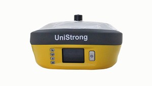
Unistrong G990II Base And Rover Gnss Receiver G...
-

SOUTH G4 Receiver Gps Gnss Surveying Equipment ...
-
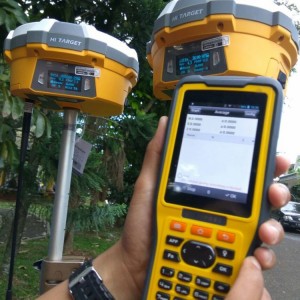
Hi target V60/A10/H32 Trimble Main Board Gps Re...
-
CHC I73/T5 Pro Gps Receiver Base And Rover Rtk ...