News
-

Benefits of using a used total station
Using a used total station can offer several benefits, including: 1. *Cost Savings*: One of the most significant advantages of purchasing a used total station is the cost savings compared to buying a new one. This can be particularly beneficial for small businesses or individuals who may have bud...Read more -

What is the use of total station?
Total stations are used in surveying and construction to measure angles and distances with high accuracy. They are commonly used for tasks such as: 1. Land surveying: Total stations are used to measure angles and distances to determine the position of points on the Earth’s sur...Read more -

Where is RTK used?
RTK, or Real-Time Kinematic, is used in various applications such as surveying, precision agriculture, construction, and navigation. It is commonly used to provide highly accurate positioning information for tasks that require centimeter-level accuracy, such as land surveying, machine guidance in...Read more -

What are the best RTK GNSS receivers?
What are the best RTK GNSS receivers? There are a variety of high-quality real-time kinematic (RTK) GNSS receivers on the market, and the one that’s best for you will depend on your specific needs and requirements. Some of the top RTK GNSS receivers include: 1. Trimble ...Read more -
How accurate is the RTK GNSS?
Real-Time Kinematic (RTK) GNSS systems are known for their high accuracy in positioning, typically within a few centimeters. The accuracy of RTK GNSS depends on various factors such as the quality of the GNSS receiver, the number and distribution of reference stations, atmospheric conditions, and...Read more -
How can I improve my RTK accuracy?
To improve RTK (real-time kinematics) accuracy, you may consider the following steps: Use a high-quality RTK receiver: Investing in a high-quality RTK receiver with multi-constellation support (such as GPS, GLONASS, Galileo, etc.) and advanced algorithms can improve accuracy. Use a high-quality a...Read more -
What is the best GNSS for surveying?
The best GNSS (Global Navigation Satellite System) for surveying depends on several factors, including the specific needs of the surveying project, accuracy requirements, environmental conditions, budget, and the availability of support services. Popular GNSS brands known for their high-quality p...Read more -

What is total station used for?
A total station is a surveying instrument that is used to measure distances and angles to determine the positions of points on the Earth’s surface. It is commonly used in construction, civil engineering, land surveying, and mapping to precisely measure and layout points, lines, and contours...Read more -

What is GNSS vs GPS vs RTK?——I’m sure you also want to know this
GNSS stands for Global Navigation Satellite System and is a system that encompasses all global satellite navigation systems such as GPS, GLONASS, Galileo and Beidou. GPS, or Global Positioning System, is a specific satellite navigation system operated by the United States government. RTK, or re...Read more -
What is the difference between GNSS and RTK GPS?
GNSS (Global Navigation Satellite System) is a term used to describe a system that encompasses multiple satellite constellations, including GPS (Global Positioning System), GLONASS, Galileo, BeiD, and others. GNSS receivers can receive signals from multiple satellite constellations to determine a...Read more -

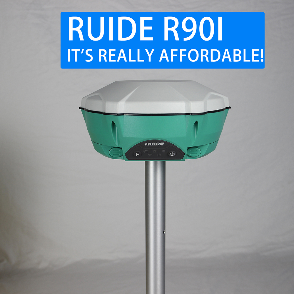
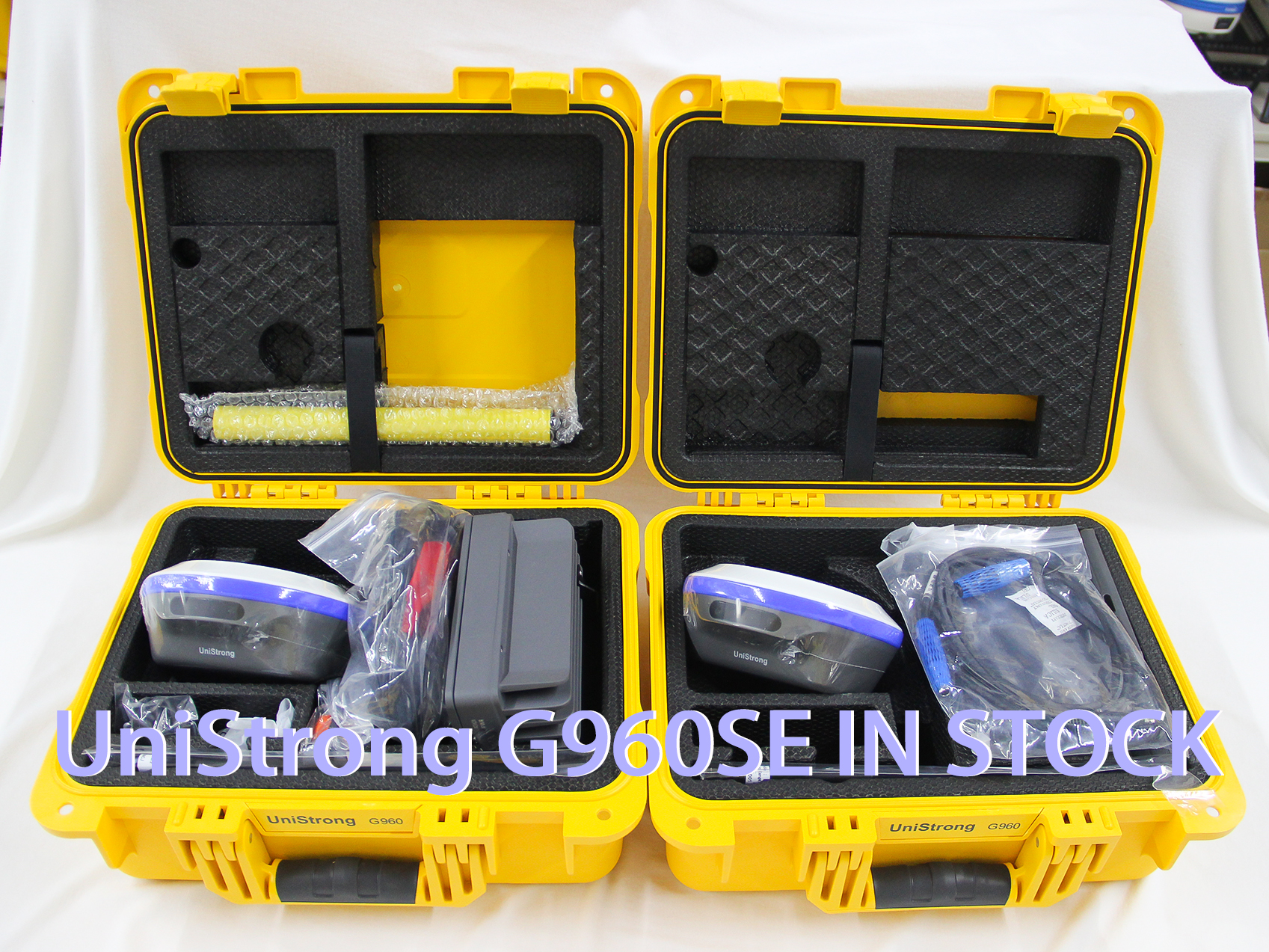
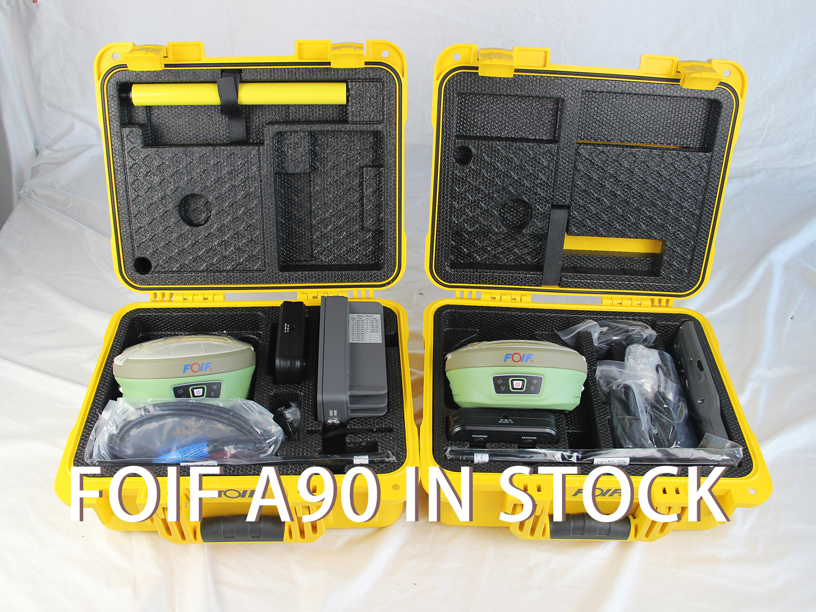
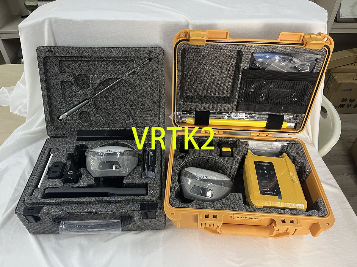
We have a lot of new stock products, please contact us quickly to make a purchase
Read more -
Approaching sunny days – Foif A90 matches the blue sky perfectly
Read more