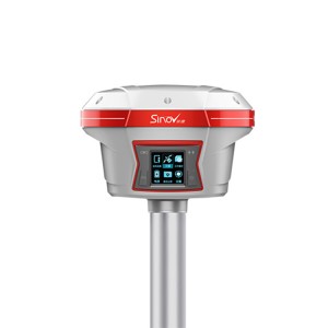
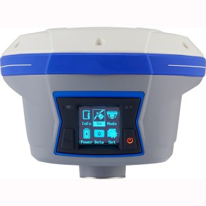
GPS Survey Equipment CHC i73 IMU GNSS RTK for Land Survey


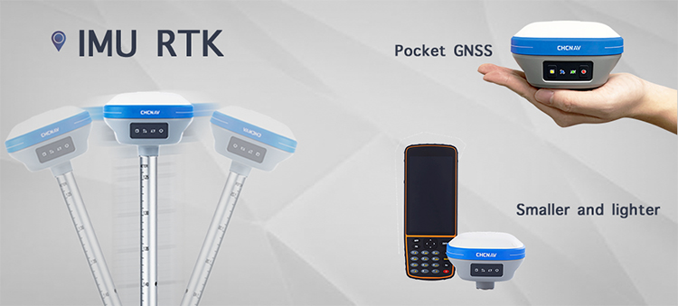
THE ULTIMATE POCKET IMU-RTK GNSS RECEIVER
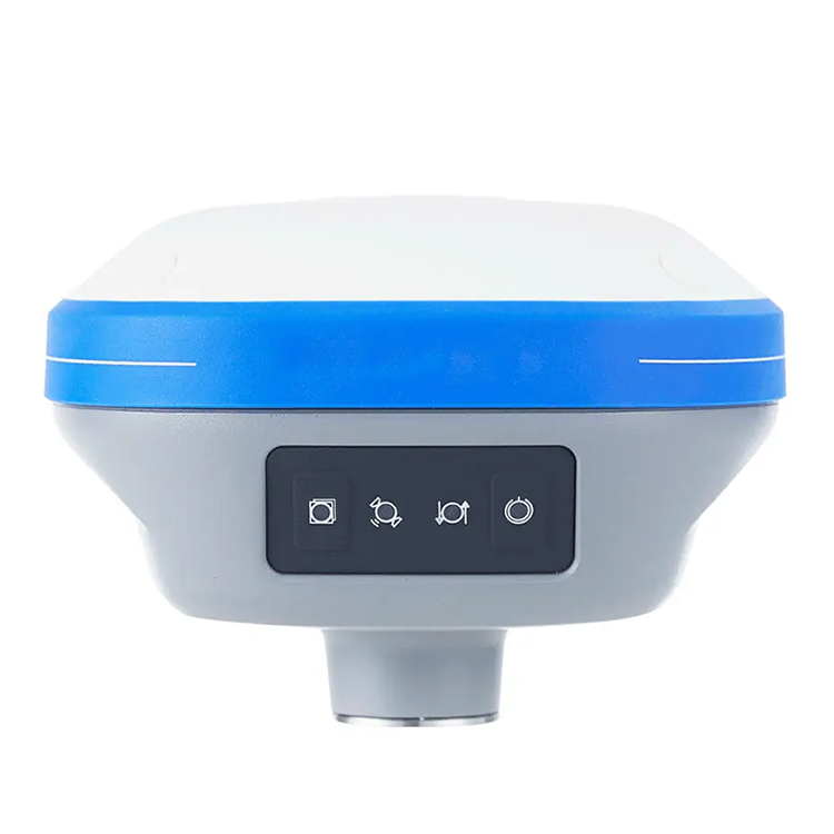
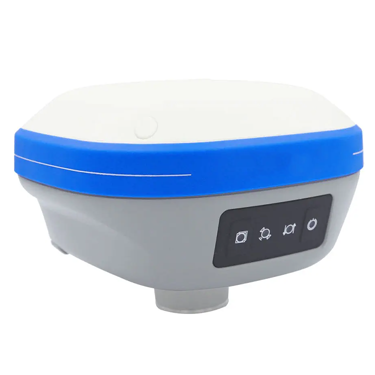
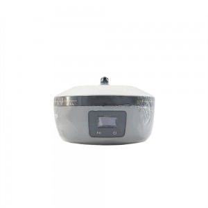
Extremely rugged to cope with challenging environments.
The i73′s magnesium alloy design makes it one of the lightest receivers in its class: only 0.73 kg including battery. It is more than 40% lighter than a typical GNSS receiver, making it more convenient to carry, use and operate without fatigue. The i73 compensates for up to 45 ° tilt of the survey range pole, eliminating the challenges associated with surveying concealed or unsafe points to reach. It increases the efficiency of point measurements by 20% and stakeout surveys by up to 30%.
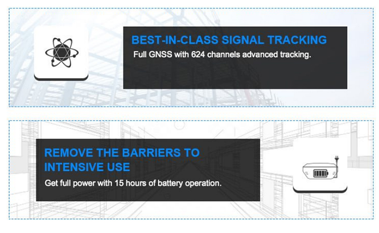
BEST-IN-CLASS SIGNAL TRACKING
Full GNSS with 624 channels advanced tracking.
The integrated advanced 624-channel GNSS technology takes advantage of GPS, Glonass, Galileo and BeiDou, in particular the latest BeiDou III signal, and provides robust data quality at all times.
REMOVE THE BARRIERS TO INTENSIVE USE
Get full power with 15 hours of battery operation.
The integrated high-capacity intelligent Li-ion battery provides up to 15 hours operation in the field. Full-day projects can be easily completed without worrying about a power outage. The built-in USB-C is extremely convenient for charging the i73, using standard smartphone chargers or external power banks.
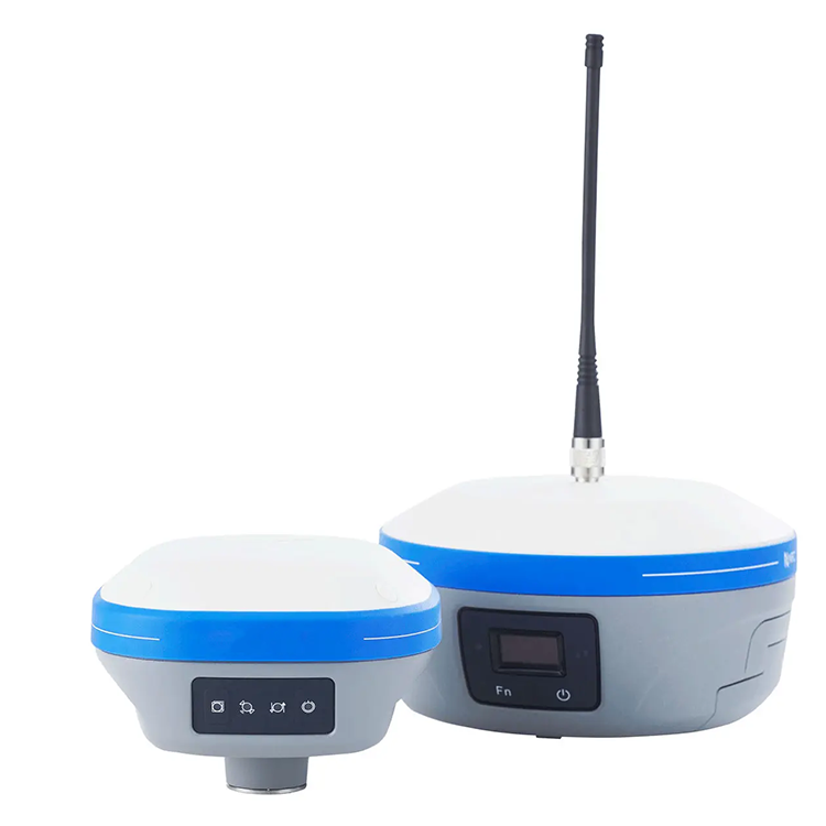
GNSS SURVEYING, THE WAY YOU WORK
A versatile GNSS rover covering your current and future needs.
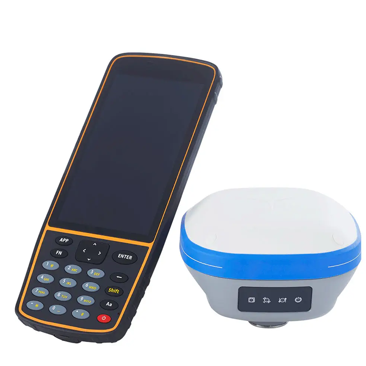
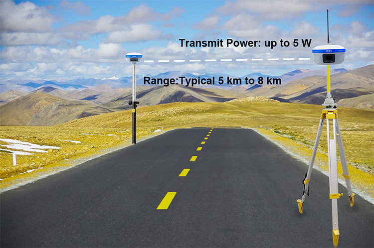
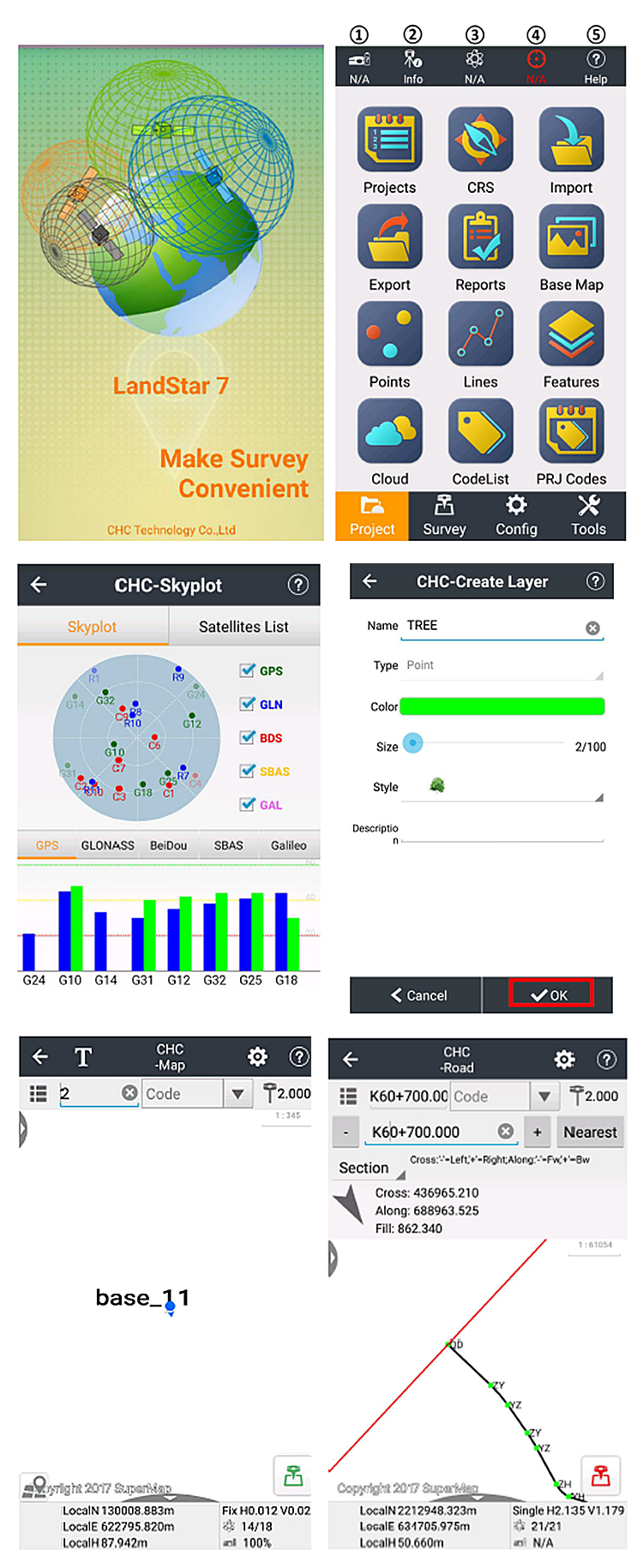
The i73 seamlessly connects to RTK GNSS networks via any Android controller or smartphone with Landstar field data collection software. When working on a site with a local UHF GNSS station, the i73 can be easily switched to UHF mode using its internal modem. Combined with CHCNAV’s iBase GNSS station, GNSS RTK surveying truly achieves the next level of operational experience.
The i73 GNSS receiver removes barriers to portability without sacrificing performance. Featuring full GNSS technology, it offers best-in-class GNSS signal tracking even in a harsh environment, enabling GNSS surveying beyond usual constraints. The i73 GNSS incorporates the latest innovations such as an inertial module providing automatic pole-tilt compensation in a very compact design.
Connected to a GNSS RTK network via CHCNAV LandStar field software, or combined with the iBase GNSS receiver, the i73 GNSS is a highly productive rover for surveying and stakeout in any topographic, mapping or construction site applications.

Products categories
-
CHC B5 Survey Instrument Base Station Gnss Rtk ...
-
CHCNAV I90/M8 RTK GPS Survey Equipment CHCNAV G...
-
CHC I83/X7 Geodetic Instruments Dual Frequency ...
-
CHC X11 Land Surveying Cheap Price Gps Gnss Rec...
-

CHCNAV IBASE/T1 Gps Land Survey Gnss Base Stati...
-
RTK GNSS Receiver CHC i90 differential gps land...