1) The availability of technologies that meet the specific needs in mines and quarries, such as harsh operational conditions and remote sites.
The IP (water and dust protection) certification level and the ruggedness of the i73 and i90 GNSS receivers provided maximum confidence in their daily use and drastically reduced hardware downtime. In addition, the GNSS technology, such as iStar (the newest GNSS PVT (Position, Velocity, Time) algorithm for CHC Navigation’s GNSS RTK receivers that allows tracking and usage of all the 5 main satellite constellations (GPS, GLONASS, Galileo, BDS or BeiDou system, QZSS) and their 16 frequencies with optimal performance) optimized the performance of GNSS surveying, both in terms of positioning accuracy and its availability in challenging environments.
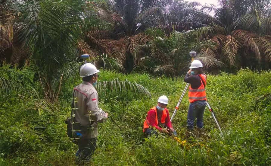
Figure 2. Setting up control point for base-rover GNSS RTK
2) The adoption of GNSS technologies for first-time users by simplifying work processes.
The integration of GNSS+IMU modules allowed surveyors to survey points without the need to level the range pole. Software development also played a significant role in this process, enabling the implementation of automated processes: safety checklists for the use of drones, codification of topographic surveys for optimal data processing using CAD software, etc.
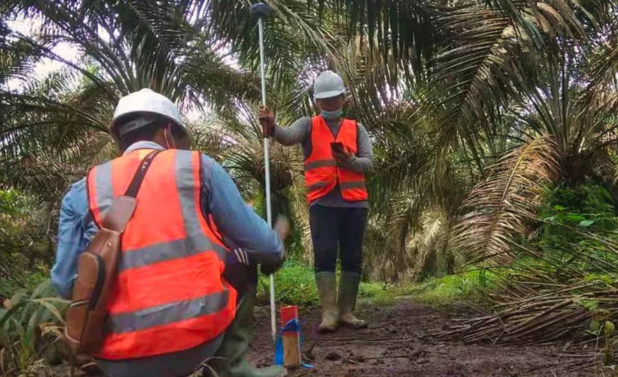
Figure 3. Staking out with i73 GNSS rover
3) Lastly, systematically conducting training sessions with field operators contributes to increased productivity and a rapid return on investment.
The training program for this project covered the fundamentals of GNSS RTK systems. Although most of the sites in this project have network coverage for operation in NTRIP RTK mode, the ability to use the integrated radio modems provided a valuable operational back-up. The data acquisition phase with an extended codification (addition of photos, video and voice messaging to the survey points coordinates) facilitated the final processing step, cartographic rendering, volume calculation, etc.
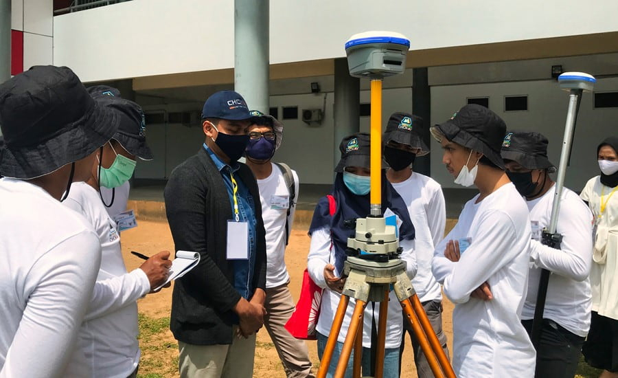
Figure 4. GNSS training by CHCNAV expert
Post time: Jun-03-2019