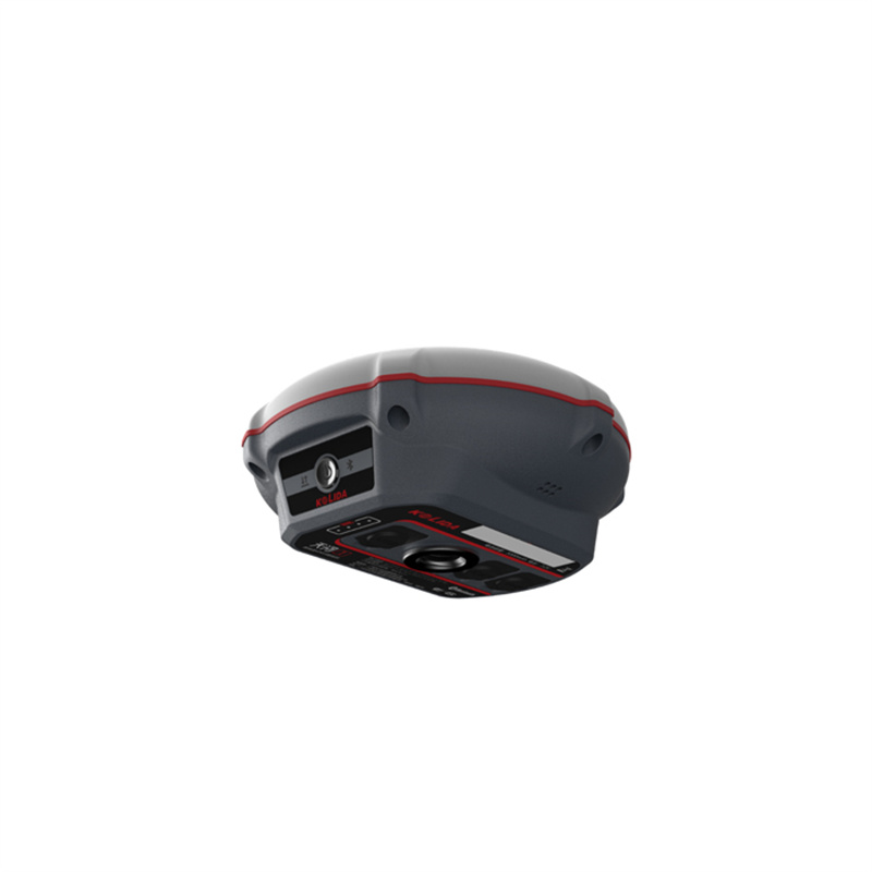
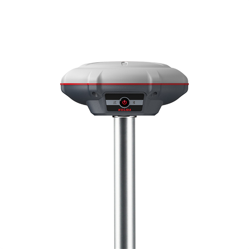
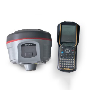
Kolida K3 GNSS Handheld Gps Receiver RTK Surveyor Equipment RTK

“SOC”, New System Structure
“SOC” means“System-on-Chip”, this new design integrates several individual hardware modules into one microchip. The receiver can be much lighter and smaller, system runs more stable and faster, bluetooth connection speed is faster. The“High-Low Frequency Integration”antenna can effectively restrain the interruptive signal.
Constantly Ungraded Inertial Measurement
KOLIDA’s 3rd generation inertial sensor and algorithm are onboard now. The working speed and stability have been improved for 30% from the last version. When the GNSS fixed solution is lost and recovered again, Inertial sensor can remain the working status in a few seconds, no need to spend time to reactivate it…
Tilt angle is up to 60 degrees, accuracy is down to 2cm.
0.69 kg, Comfort Experience
K3 IMU is ultra light, the total weight is only 0.69 kg including battery, 40% even 50% lighter than a traditional GNSS receiver. The light-weight design reduces surveyor’s fatigue, increase their mobility, is especially helpful to work in challenging environment.
A Huge Leap In Working Hours
Thanks to the high-capacity battery and the intelligent power management plan, K3 IMU can work up to 12 hours in RTK radio rover mode, up to 15 hours in static mode. The charging port is Type-C USB, users can choose KOLIDA quick charger or their own smartphone charger or power bank to recharge.
Easy Operation
K3 IMU can seamlessly connect to RTK GNSS networks via Android controller or smartphone with KOLIDA field data collection software, to work as a network rover, also can be worked as UHF radio rover by using its internal radio modem.
New Radio, Farlink Tech
Farlink technology is developed to send large number of data and avoid data loss.
This new protocol improves the signal-catching sensitivity from -110db to -117db, so K3IMU can catch the very weak signal from a base station far way.
Practical Functions
K3 IMU employs Linux system, it helps surveyors to accomplish their missions easier, faster and more accurate by delivering exceptional quality and innovative features.
Specification
| Satellite Tracking Ability | ||
| Channels965 channels | Constellation | MMS L-BandReserved |
| GPS, GLONASS, BEIDOU, GALILEO, QZSS, SBAS | ||
| Positioning Output Rate1-20 HZ | Initialization Time2-8 s | |
| Positioning Precision | ||
| UHF RTKHorizontal ±8mm +1 ppm | Network RTKHorizontal ±8mm +0.5 ppm | |
| Vertical ±15mm +1 ppm | Vertical ±15mm +0.5 ppm | |
| Static and Fast-Static | RTK Initial time | |
| Horizontal ±2.5mm +0.5 ppm | ||
| Vertical ±5mm +0.5 ppm | 2-8s | |
| User Interaction | ||
| Operation SystemLinux, System-On-Chip | Screen DisplayNo | wifiYes |
| Voice Guideyes, 8 language | Data Storage8 GB internal, 32GB external | Web UIYes |
| Keypad1 physical buttons | ||
| Working Capability | ||
| RadioBuilt-in receiving | Tilt Survey | Electronic BubbleYes |
| Inertial Measurement | ||
| Endurance | OTG (Field Download) | |
| up to 15 hours (static mode), up to 12 hours (internal UHF rover mode) | yes |
Products categories
-
Tianyu C8 Gnss Rtk Base and Rover Rtk Gps High ...
-

High Accuracy Cheap Price SOUTH G9 GNSS Receive...
-
South G1 Plus GNSS RTK Survey Equipment Cheap S...
-

CHCNAV IBASE/T1 Gps Land Survey Gnss Base Stati...
-
CHC X6/I73 Handheld Gnss Receiver Gps Land Surv...
-
Tilt Survey E-Bubble NFC Functions Kolida K5 Pl...