DH UAV X400 2T Brushless Powerful Drones RTK UAV GPS Drone With Camera Surveying GPS Long Range

DH UAV X400 2T Brushless Powerful Drones RTK UAV GPS Drone With Camera Surveying GPS Long Range Detail:

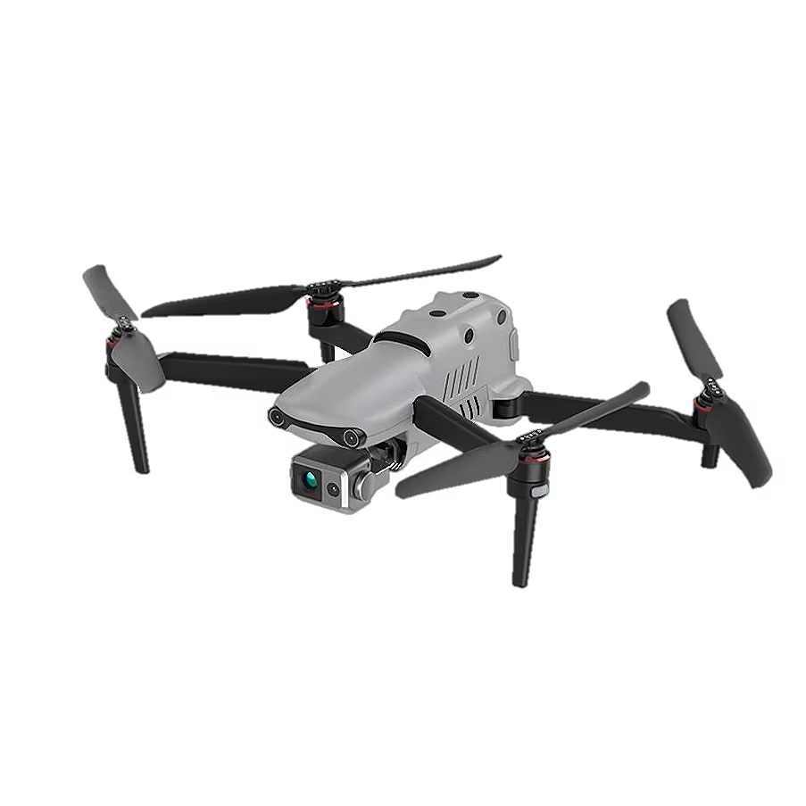

| Product parameter | |
| Weight (including paddle and battery) | 1136.5g |
| Maximum take-off weight | 1999 g |
| Size (L * W * H) | 457*558*108mm (unfolded) 230*130*108mm (folding) |
| wheelbase | 427 mm |
| Maximum take-off altitude | 7000 m |
| Maximum ascent speed | 8 m/s |
| Maximum descent speed | 4 m/s |
| Maximum horizontal flight speed | 20m/s |
| Maximum range | 22 km |
| Maximum angular velocity of rotation | 120°/s |
| Maximum tilt Angle | 33° |
| Maximum hover time | 33 minutes |
| Maximum wind resistance | Take-off and landing stage: 12m/s |
| Satellite positioning system | GPS/ Glonass/Galileo/Beidou |
| Operating temperature | -10℃ ~ 40℃ |
| On-machine storage | 8GB |
| SD card storage | Max support: 256GB (Class 10 or UHS-3) |


Product detail pictures:
Related Product Guide:
All we do is often involved with our tenet " Purchaser to start with, Rely on initially, devoting over the food stuff packaging and environmental defense for DH UAV X400 2T Brushless Powerful Drones RTK UAV GPS Drone With Camera Surveying GPS Long Range , The product will supply to all over the world, such as: Mexico, Morocco, Turin, We also provide OEM service that caters to your specific needs and requirements. With a strong team of experienced engineers in hose design and development, we value every opportunity to provide best products and solutions for our customers.
We are long-term partners, there is no disappointment every time, we hope to maintain this friendship later!
Products categories
-
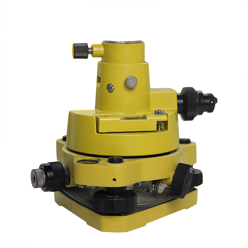
Best Price for Unistrong Gnss - Tribrach And A...
-
OEM/ODM China Hi-Target Base - Tribrach And Ad...
-

2022 Good Quality Gps Sokkia - High Precision ...
-
Reasonable price for Theodolite South - Tribra...
-
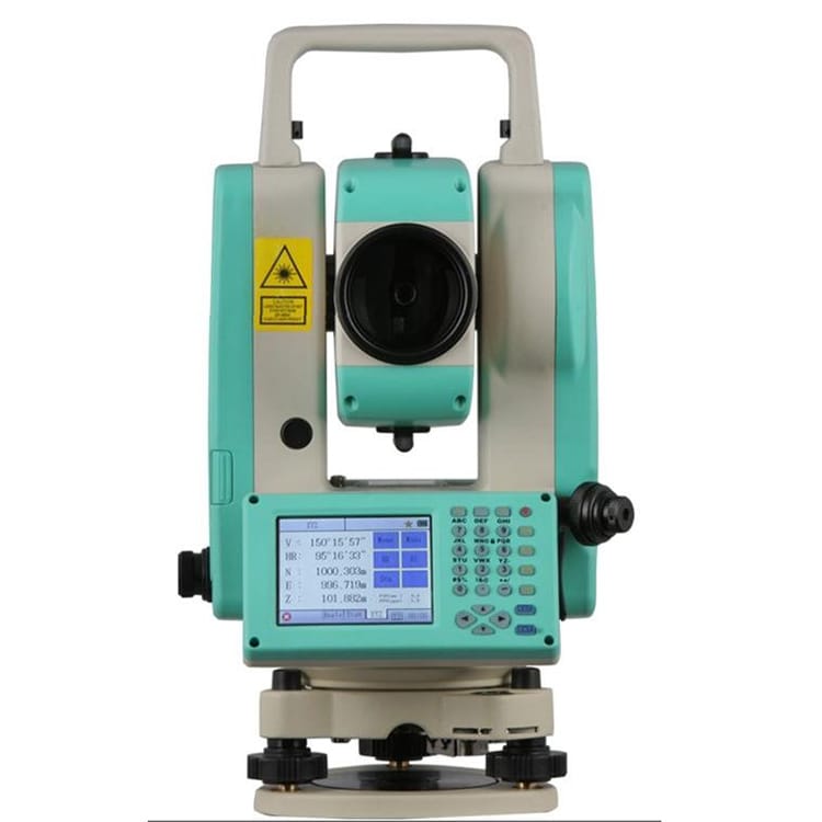
Manufacturer for Total Station Topcon - 2̸...
-
Factory best selling Digital Theodolite - Trib...