2″ Angle Measuring Accuracy 2mm Distance Measuring Accuracy Ruide R2 Total Station
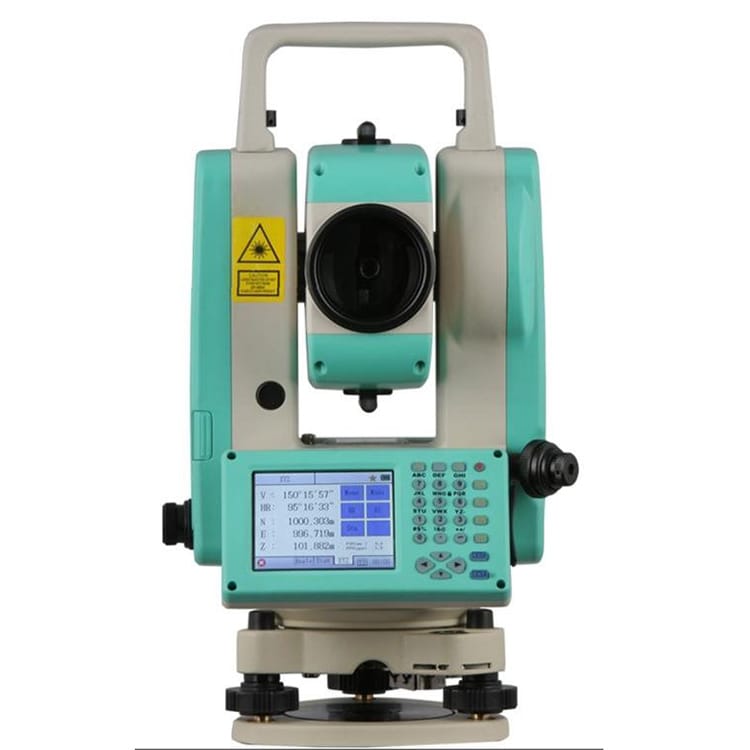


RDM8 DIS.TECH is a unique and innovative EDM technology of RUIDE, which enables R2 Pro to deliver an accurate and long non-prism distance range up to 800m within stunningly 0.3s measuring speed. 4km distance with prism can be easily achieved with a high precision of 2mm+2ppm.
RDM8 DIS.TECH is a unique and innovative EDM technology of RUIDE, which enables R2 Pro to deliver an accurate and long non-prism distance range up to 800m within stunningly 0.3s measuring speed. 4km distance with prism can be easily achieved with a high precision of 2mm+2ppm.
R2 Pro is equipped with the Guide Light on the EDM. A red and yellow LED will flash by turns, assisting the pole man to move the prism to the right position during stake-out process.
A sophisicated liquid-electronic compensator on 2 axis ensures a stable compensation within a tilt range of 4′.
Various options for data transfer are available: SD-card, mini- USB, and RS232. Internal memory is capable to store up to 20,000 points. External storage can be extended to 2GB.
IP66 outstanding water and dust proof ensures a overall protection to the total station in any tough environments.
COGO is a suite of programs used in civil engineering for solving coordinate geometry problems. It employs some basic types of elements such as points, spirals, lines, curve, etc. to calculate the inverse, azimuth and distance, area, line and offset.
R2 Series provides various surveying programs which are usually used in survey job, including 2-point reference line, reference arc, measuring the HD, VD and SD between 2 points, remote elevation measurement, measuring distance and offset values on vertical plane, measuring distance and offset values on the slope plane, and road design.
RTS TRANSFER
The transfer software RTS TRANSFER provides a complete and easy-to-use solution for data exchange between the total station and the computer, as well as transferring to DXF format.
Detailed raw data and coordinates data can be downloaded to the computer, and you can also edit and upload coordinates data and road data to the total station.
After you download the coordinates data to the computer, you can post process the data like changing the element order, and convert it to DXF file which can be used in CAD.
Products categories
-
South N4 Ip54 Reflectorless Station Estacion Total
-
800 channels IMU tilt IP68 Atlas gnss rtk gps s...
-
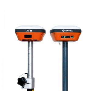
GNSS RTK System Base And Rover Station Stonex S...
-

Trimble TSCE Battery Charger ND6072-1200 for Tr...
-

Second hand Cheap Price Japan Brand GTS-1002 2&...
-

South N40 Good Price Total Station South N40 Hi...