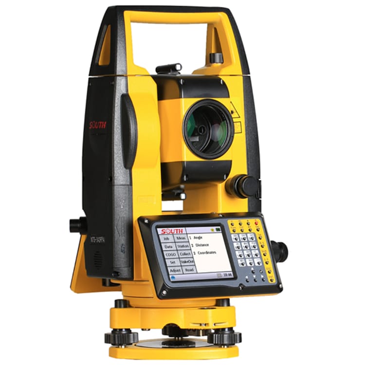
SOUTH INNO7 Surveying Instrument GNSS Receiver with Post Processing Software Dual Frequency International Module Gps RTK

SOUTH INNO7 Surveying Instrument GNSS Receiver with Post Processing Software Dual Frequency International Module Gps RTK Detail:
| GNSS Features | Channels | 1598 |
| GPS | L1C/A, L1C, L2C, L2E, L5 | |
| GLONASS | L1C/A, L1P, L2C/A, L2P, L3 | |
| BDS | B1, B2, B3 | |
| GALILEOS | E1, E5A, E5B, E5AltBOC, E6 | |
| SBAS | L1C/A, L5 (Just for the satellites supporting L5) | |
| IRNSS | L5 | |
| QZSS | L1C/A, L1 SAIF, L2C, L5, LEX | |
| MSS L-Band | Trimble RTX[1] | |
| Positioning output rate | 1Hz~50Hz | |
| Initialization time | < 10s | |
| Initialization reliability | >99.99% | |
| Positioning Precision | Code differential GNSS positioning | Horizontal: 0.25 m + 1 ppm RMS |
| Vertical: 0.50 m + 1 ppm RMS | ||
| GNSS static | Horizontal: 2.5 mm + 0.5 ppm RMS | |
| Vertical: 5 mm + 0.5 ppm RMS | ||
| Long Observation Static | Horizontal: 3mm+0.1 ppm | |
| Vertical: 3.5mm+0.4ppm | ||
| Real-time kinematic | Horizontal: 8 mm + 1 ppm RMS | |
| (Baseline<30km) | Vertical: 15 mm + 1 ppm RMS | |
| SLink (RTX)[2] | Horizontal: 4-10 cm | |
| Vertical: 8-20 cm | ||
| RTK XTRa (xFill)[3] | Horizontal: 5 + 10 mm/min RMS | |
| Vertical: 5 + 20 mm/min RMS | ||
| SBAS positioning | Typically<5m 3DRMS | |
| RTK initialization time | 2~8s | |
| IMU tilt angle | 0°~60° | |
| Hardware Performance | Dimension | 15.3cm(φ)×10.6cm(H) |
| Weight | 1.2kg (battery included) | |
| Material | Magnesium aluminum alloy shell | |
| Operating temperature | -25℃~+65℃ | |
| Storage temperature | -35℃~+80℃ | |
| Humidity | 100% Non-condensing | |
| Waterproof/Dustproof | IP68 standard, protected from long time immersion to depth of 1m IP68 standard, fully protected against blowing dust | |
| Shock/Vibration | Withstand 2 meters pole drop onto the cement ground naturally | |
| Power consumption | 2W | |
| Power supply | 6-28V DC, overvoltage protection | |
| Battery | 7.4 V 3400mAh rechargeable, removable Lithium-ion battery | |
| Battery life | Single battery: 16h (static mode) | |
| 10h (internal UHF base mode) | ||
| 12h (rover mode) | ||
| Communications | I/O Port | 5PIN LEMO external power port + Rs232 |
| 7PIN LEMO +external USB(OTG)+Ethernet | ||
| 1 UHF antenna interface | ||
| 1 GPRS antenna interface (internal and external antenna switchable) | ||
| SIM card slot (standard) | ||
| Internal UHF | Radio receive and transmit, | |
| 1W/2W/3W switchable, radio router and radio repeater | ||
| Frequency range | 410-470MHz | |
| Communication protocol | Farlink, Trimtalk450s, SOUTH, SOUTH+,SOUTHx, HUACE, Hi-target, Satel | |
| Communication range | Typically 15km with Farlink protocol | |
| Cellular mobile network | Advanced 5G network communication module, downward compatible with 4G/3G | |
| Bluetooth | BLEBluetooth 4.0 standard, Bluetooth 2.1+EDR | |
| NFC Communication | Realizing close range (shorter than 10cm) automatic pair between receiver and controller(controller requires NFC wireless communication module else) | |
| WIFI | Modem | 802.11 b/g standard |
| WIFI hotspot | Receiver broadcasts its hotspot form web UI accessing with any mobile terminals | |
| WIFI datalink | Receiver can transmit and receive correction data stream via WiFi datalink | |
| Data Storage/Transmission | Storage | 64GB SSD internal storage |
| Automatic cycle storage (The earliest data files will be removed automatically while the memory is not enough) | ||
| Support external USB storage | ||
| The customizable sample interval is up to 50Hz | ||
| Data transmission | Plug and play mode of USB data transmission | |
| Supports FTP/HTTP data download | ||
| Data format | Differential data format: CMR, CMR+, SCMRx, RTCM 2.1,RTCM 2.3, RTCM 3.0, RTCM 3.1, RTCM 3.2 | |
| GPS output data format: NMEA 0183, PJK plane coordinate, Binary code, Trimble GSOF | ||
| Network model support: VRS, FKP, MAC, fully support NTRIP protocol | ||
| Sensors | Electronic bubble | Controller software can display electronic bubble, checking leveling status of the carbon pole in real-time |
| IMU | Built-in IMU module, calibration-free and immue to magnetic interference | |
| Thermometer | Built-in thermometer sensor, adopting intelligent temperature control technology, monitoring and adjusting the receiver temperature | |
| User Interaction | Operating system | Linux |
| Buttons | 2-button and visual operation interface | |
| Indicators | 2 LED indicators, data interaction indicator and Bluetooth indicator | |
| LCD | 1.54-inch HD color LCD touch screen with resolution 240*240 | |
| Web interaction | With the access of the internal web interface management via WiFi or USB connection, users are able to monitor the receiver status and change the configurations freely | |
| Voice guidance | The intelligent voice technology provides status and operation voice guidance, supports Chinese/English/Korean/Spanish/Portuguese/Russian/Turkish | |
| Secondary development | Provides secondary development package, and opens the OpenSIC observation data format and interaction interface definition | |
| Cloud service | The powerful cloud platform provides online services like remote manage, firmware update, online regi |
Product detail pictures:


Related Product Guide:
Good quality comes to start with; service is foremost; organization is cooperation" is our enterprise philosophy which is regularly observed and pursued by our firm for SOUTH INNO7 Surveying Instrument GNSS Receiver with Post Processing Software Dual Frequency International Module Gps RTK , The product will supply to all over the world, such as: Swansea, Malawi, Australia, Based on experienced engineers, all orders for drawing-based or sample-based processing are welcomed. We have now won a good reputation for outstanding customer service among our overseas customers. We will continue to try the best to supply you good quality products and solutions and the best service. We've been looking forward to serving you.
The company leader recept us warmly, through a meticulous and thorough discussion, we signed a purchase order. Hope to cooperate smoothly
Products categories
-
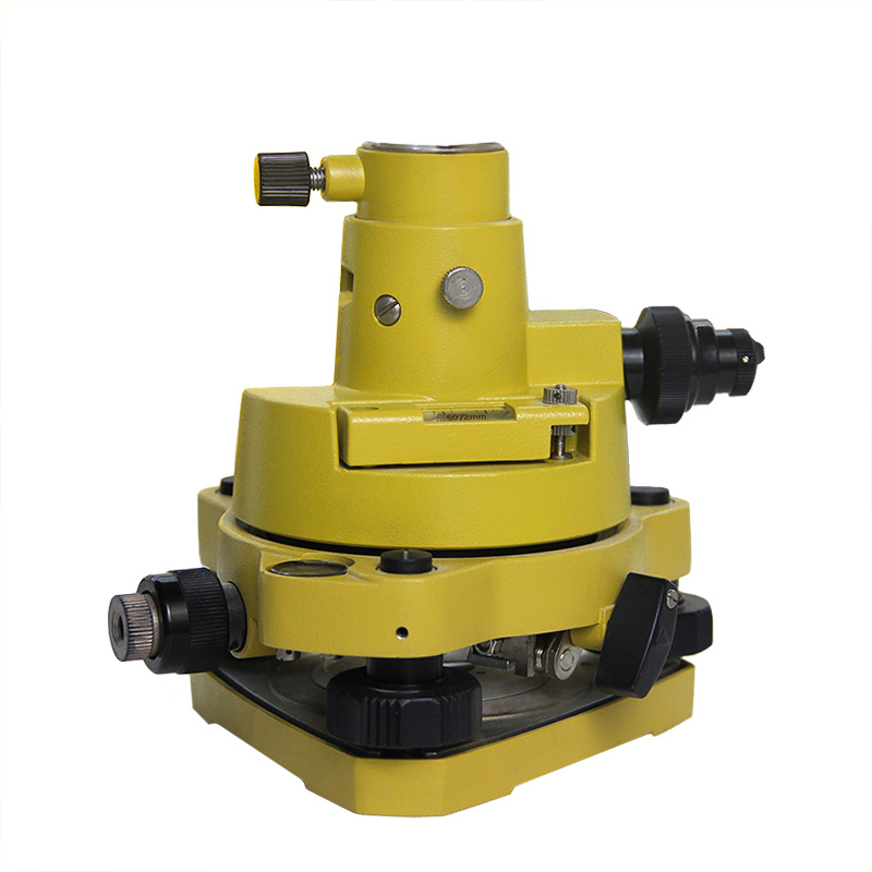
Factory Cheap Theodolite Prices - Tribrach And...
-

2022 Good Quality Gps Sokkia - High Precision ...
-
High definition Agricultural Drone - Tribrach ...
-
2022 Good Quality Sokkia Total Station - South...
-
Newly Arrival Stonex R20 - Tribrach And Adapte...
-
Fast delivery Chc Gps - High Precision Kolida ...